
At Togo's initiative, the UN General Assembly has adopted a resolution promoting equal-area world maps worldwide. The aim is to finally show Africa at its true size.
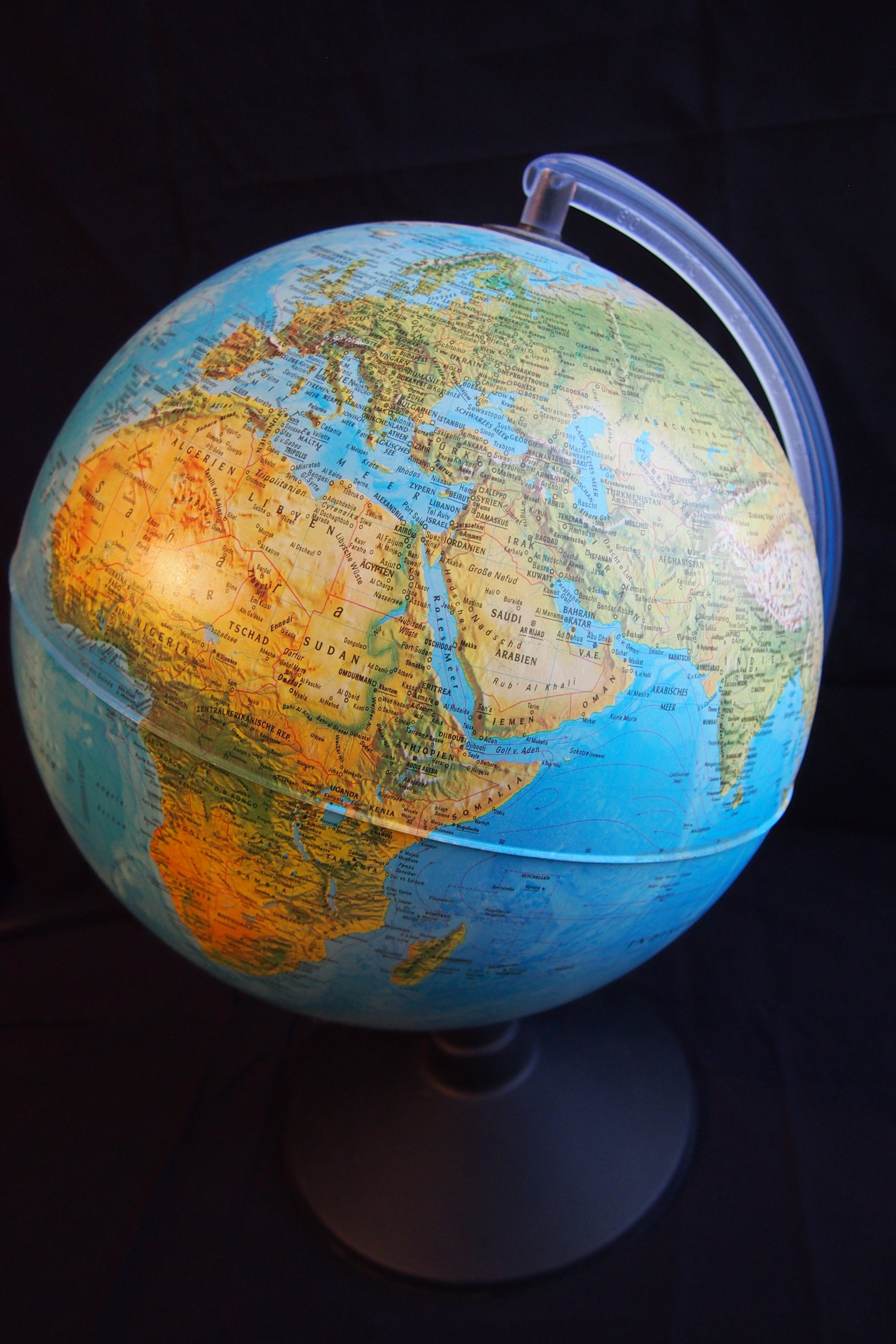
On the standard world map, Greenland looks almost as large as Africa. In reality, Africa is around 14 times bigger. The reason is the Mercator projection, dating from 1569: it was designed for sailors and enlarges regions the further they lie from the equator. As a result, Europe and North America appear inflated, while Africa looks shrunken. Even so, it remains the standard in schools, the media and online mapping services.
That is set to change. Led by Togo's Foreign Minister Robert Dussey and backed by the African Union, the General Assembly adopted the resolution on 4 September. It encourages governments, schools and tech companies to use equal-area maps such as the Equal Earth projection. The result was clear: 164 countries voted in favour, including Germany. Only the United States voted against, while six countries abstained. France even announced it would drop Mercator for its world maps.
The resolution is non-binding, and Mercator will not disappear overnight. But for Togo it is a major diplomatic success. It is also a reminder that maps show more than geography: they shape how we perceive the world and its continents.